An inside look at how NASA is using advanced radar technology to better understand climate change
NASA is using its advanced techology to head for space — so it can monitor our home. In its latest climate report, the agency says 2022 was the globe’s fifth-hottest year on record, part of a long-term warming trend attributed to climate change caused by humans. Some of its newest high-tech efforts will help gather more data on how our planet is changing.
NASA has a new earth system observatory that will monitor a series of five advanced satellite missions that will monitor nearly every aspect of Earth. It will give NASA a 3D view of how the earth’s systems are operating and are impacted by climate change.
“Really looking at the heartbeat of the planet, just a whole host of things that we are tracking every single day,” said Randy Friedl, deputy director of Earth Science at NASA’s Jet Propulsion Laboratory.
In December, NASA launched a rocket from California carrying a satellite known as SWOT, short for Surface Water and Ocean Topography.
This $1.2 billion mission is the first radar to survey almost all of the world’s surface water including nearly every ocean, river, lake and stream on the planet.
Project scientist Paul Rosen says the satellite can survey 6 million bodies of water every three weeks.
“It can cover everything,” Rosen said.
Rosen believes the satellite will help to better detect and plan for floods, droughts, and rising seas which are expected to make many coastal areas around the world uninhabitable in the decades to come.
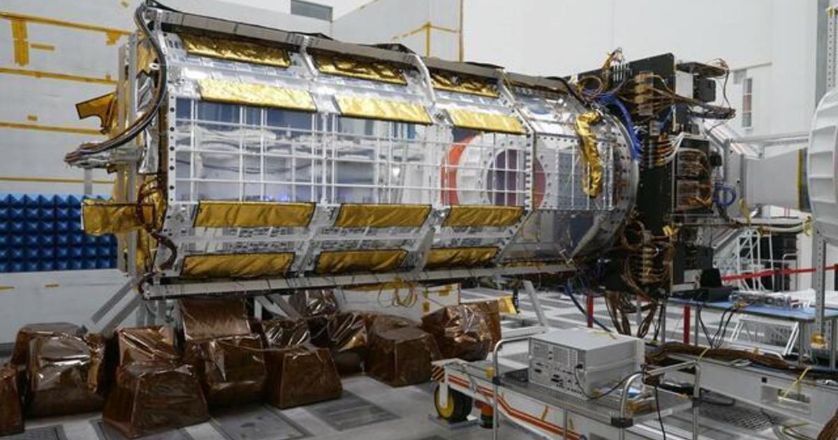
NASA’s upcoming satellite mission NISAR, scheduled to launch next year in a joint project with India’s space program, will use two different radar systems to track subtle changes in the earth’s surface to less than a half-inch.
This will allow better detection of ice sheet collapse and the melting of glaciers. It will track deforestation, which contributes to global warming, as well as monitor groundwater supplies and even soil moisture, which can help predict the risk of wildfires.
“It’s unprecedented and we’re covering all of the land and the ice-covered surfaces every 12 days, twice, once when the satellite is going up towards the North Pole and once when it’s coming down towards the South Pole,” Rosen said.
Rosen called NISAR “the most advanced radar for NASA” and likely the most advanced radar any country has ever put into space.
NASA plans to share the data from all these missions with scientists and governments to better understand and adapt to climate change.

For all the latest Automobiles News Click Here
For the latest news and updates, follow us on Google News.