A new method allows for quantifying the spatial intermittency of ocean currents

Understanding Atlantic Ocean circulation is key for assessing the global ocean interconnections, in what is known as the “global conveyor belt.” This is because the latitudinal ends of the Atlantic, bordering the polar regions, are cold-water formation regions that trigger the onset of the global conveyor belt. Because of their high density, each winter the waters of these polar regions sink and initiate the conveyor belt, thus helping to redistribute heat on a planetary scale, which ultimately influences the climate, especially in Europe.
To quantify this circulation on a planetary scale, it is necessary to understand the intensity of all those processes that cause the spatial and temporal intermittency of the large currents, i.e. the diffusive processes. A new study led by the Institut de Ciències del Mar (ICM-CSIC) in Barcelona, which delves into the processes of horizontal diffusion in the South Atlantic, has developed a new methodology for calculating this diffusion at both regional and global levels.
“The new methodology, which we have named ROD (Radial Offset by Diffusion), allows us to determine the horizontal diffusion coefficients in the ocean and to estimate their spatial variability,” states Anna Olivé, leading author of the study.
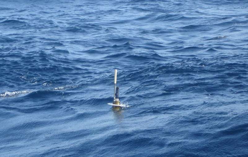
To carry out this work, published in the Journal of Atmospheric and Oceanic Technology, researchers analyzed the displacements, between 2002 and 2020, of more than 600 drifting buoys, that is, dragged buoys that drift with the ocean currents and hence allow knowing their direction and speed.
“We then numerically simulated these buoys’ trajectories and calculated the distance between the final position of the drifting buoys and that estimated with the numerical simulations, which allowed us to quantify the horizontal diffusive processes existing in the region,” adds Anna Olivé.
The study shows that the maximum horizontal diffusion occurs near the ocean surface, in the first 200 m depth, while the minimum values are observed between 1400 and 2000 m depth. Diffusion also increases in the northernmost Antarctic fronts due to the presence of the strong Falkland Current, which flows northwards along the Atlantic coast of Patagonia, reaching La Plata River.
“This important spatial difference confirms the large variability of horizontal diffusion in the ocean, which highlights that a constant coefficient cannot be used throughout the ocean,” explains Josep Lluís Pelegrí, co-author of the study.
Unlike others, the ROD method is easy to implement and does not require excessive computational use. According to Anna Olivé, “this facilitates its application and makes it an effective tool for understanding the processes of diffusion and turbulent mixing in regions as dynamic as the Antarctic fronts.”
For example, the new methodology will make it possible to know which horizontal diffusion coefficient is most appropriate for studying each oceanic region. Until now, the uncertainties in this parameter has limited the predictive capacity of oceanographic numerical models.
“Thanks to the increase in the number of drifting buoys and the continuous improvements in high-resolution numerical models and reanalysis, the ROD method will provide us with more precise estimates that will allow us to better predict the temporal evolution of large-scale processes that have a major impact on the climate of our planet, such as the global conveyor belt,” concludes Anna Olivé.
More information:
Anna Olivé Abelló et al, A Simple Method for Estimating Horizontal Diffusivity, Journal of Atmospheric and Oceanic Technology (2023). DOI: 10.1175/JTECH-D-22-0097.1
Citation:
A new method allows for quantifying the spatial intermittency of ocean currents (2023, July 13)
retrieved 13 July 2023
from https://phys.org/news/2023-07-method-quantifying-spatial-intermittency-ocean.html
This document is subject to copyright. Apart from any fair dealing for the purpose of private study or research, no
part may be reproduced without the written permission. The content is provided for information purposes only.
For all the latest Science News Click Here
For the latest news and updates, follow us on Google News.

