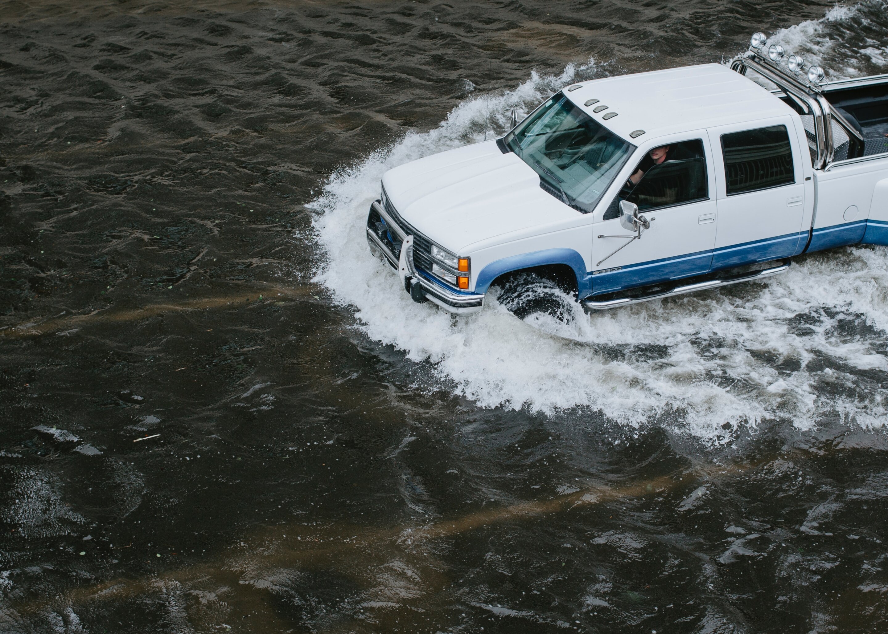
After months of heavy rain across California and record snow in the southern Sierra Nevada, state officials warn that melting snow could turn into flooding as the state’s skies turn sunnier this spring and summer.
The Tulare Lake and San Joaquin River basins, which already saw storm flooding this year, are of particular concern. But specific predictions remain elusive despite new forecast data, as water managers continue to crunch numbers.
What’s clear is that runoff from melting snow could surge to dangerous levels with higher than expected temperatures, particularly in Southern California. And if residents of the Golden State have come to expect anything, it’s weather that deviates from historical averages.
“For any data that a forecast produces, there’s uncertainty in future conditions,” said David Rizzardo, hydrology manager at the Department of Water Resources. “For these last ten years we’ve seen a lot of extremes… forecasting procedures are trying to adapt to that.”
Northern California rivers, including the American and the Sacramento, are forecast for a typical wet year with sustained high flows based on more than 100% of historical average runoff. The region simply has more water infrastructure—dams and reservoirs that captured much of the wet season’s downpour, said Jeffrey Mount, senior fellow with the Public Policy Institute of California Water Policy Center.
It’s the San Joaquin Valley waterways in the state’s south that are now in uncharted territory, with runoff expected reach over 400% of historical averages along the Kern River. Runoff flows could be nearly as high in the Tulare Lake Basin, according to runoff forecast data from the Department of Water Resources.
Before making modeled predictions for where exactly melting snow could turn into flooding, officials said they need more data on reservoir operations and agricultural water needs across the state’s tightly managed water system. But Mount cautions against putting trust in those forecasts.
“What we know is there will be extensive flooding. It’s going to be big and highly disruptive but will slowly unfold and hopefully not kill anybody,” Mount said. “But because were at the edge of our models, they’re not going to be very good… When we have extremes, either very wet or very dry, we often discover the weaknesses in our models.”
As of Tuesday, the National Weather Service’s River Forecast Center shows that the San Joaquin River at Modesto, Vernalis, Patterson, Newman and Stevenson is above monitor stage, indicating a potential to approach flood conditions.
Rapidly melting snow is one cause of potential flooding, but water released from dams can also compound already high river flows. The town of Hanford south of Fresno, for example, is under a flood advisory notice because of a dam floodgate release.
Managers of California’s intricate network of reservoirs and canals are now attempting to strike a balance between moving enough water and not too much. The goal is to make room for snow melt while preserving fullness for future dry periods.
The Department of Water Resources data will be handed off to dam operators, including the federal Army Corps of Engineers, who will compare it to historic patterns to decide when and where to release water from full reservoirs.
Those decisions will also be driven by information on water demand from cities and agriculture, said Jenny Fromm, chief of the Corps water management section. She said to expect releases from dams in the San Joaquin and Tulare watersheds throughout the spring, and even into the summer, to create space in reservoirs in anticipation of melting snow.
“It’s the rock and a hard place with the reservoirs. Do you release that water and make a little bit more room for the potential of more snow and rain?” said Jeremy Arrich, manager of the DWR flood management division. “But if we release the water and don’t fill that reservoir we’d be under a lot of pressure for the opposite side.”
DWR said after reservoir managers and irrigation districts make their estimates, the agency can begin to forecast and prepare for flooding in particular parts of the state and make preparations to protect public safety and property.
“Once we understand a good depiction of what is at risk, overlaying that with some of these thresholds and triggers will help us get to the point where we know where to where to focus resources,” said Arrich.
State officials recommended that residents of the San Joaquin Valley and Tulare Basin pay attention to local emergency responders and plan evacuation routes in case of flooding. But weather is the ultimate arbiter, said state climatologist Michael Anderson.
It’s the long periods of high temperatures in May and June that will melt record snow at peak rates. After a warmer week, mild temperatures are expected over the next several days in Sacramento and across Central California, according to the National Weather Service.
“This is a pattern that we’ll see in April, where you get these warm periods and then some cooling as we pivot out of our wet season and move towards our dry season,” said state climatologist Michael Anderson.
“How this year plays out will depend on the weather and quickly we warm up and how quickly how much sunshine gets on that pack to get the pack ready to melt.”
2023 The Sacramento Bee.
Distributed by Tribune Content Agency, LLC.
Citation:
Where will California’s record snowpack melt into floods? It’s complicated (2023, April 12)
retrieved 12 April 2023
from https://phys.org/news/2023-04-california-snowpack-complicated.html
This document is subject to copyright. Apart from any fair dealing for the purpose of private study or research, no
part may be reproduced without the written permission. The content is provided for information purposes only.
For all the latest Science News Click Here
For the latest news and updates, follow us on Google News.

